If astronauts reach the moon according to NASA’s Artemis project plan, one of their main goals is to mine ice in the crater near the moon’s South Pole. However, they will need to accurately navigate to the site. They already have equipment such as landing ships, lunar vehicles, drilling equipment, and supply vehicles. However, on the moon’s orbit or on a very strange surface of the moon, they need to know their position in real-time and accurately. Of course, they will need a GPS for this. Nevertheless, will a GPS work accurately?
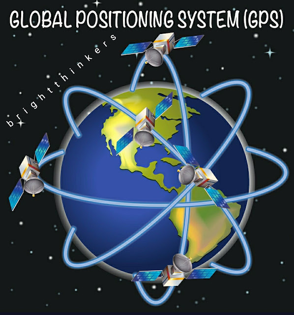
On Earth, global positioning systems (GPS) have changed our lives. A number of countries operate a large number of satellites that help people navigate in many ways. On Earth, GPS can pinpoint locations in centimeters. Can it help astronauts land on the moon?
YES – GPS WILL WORK ON THE MOON
Zhang Jiaing and Li Charles of the NASA Jet Propulsion Laboratory performed some mathematical calculations on the possibility. Mathematically and theoretically, YES, a GPS will work accurately in the moon. Signals from existing global navigation satellites near Earth can be used to navigate astronauts on the moon 385,000 kilometers away.
They mapped the orbits of navigation satellites from the US Global Positioning System and Galileo in Europe and GLONASS in Russia, for a total of 81 satellites. Most of them have directional antennas pointing to the surface of the earth, but their signals also radiate into space. The researchers said the signals were strong enough to be read by a spacecraft with a fairly compact receiver near the moon. They calculated that the spacecraft in lunar orbit would be able to “see” the signals of 5 to 13 satellites at any given time. At this distance, the positioning accuracy is about 200 to 300 meters. In computer simulation, they can continue to implement various methods to improve accuracy. NASA scientists believe that relay satellites in the lunar orbit as a positioning beacon.
However, this complex infrastructure isn’t really present around the moon. NASA’s plan involves using the same network of satellites to execute the same process on the moon. To better pick up these signals, NASA is developing a special receiver that can receive the relay from a much higher distance. In fact, NASA has long been working on high-altitude navigation as well as increasing the relay distance of the satellites.
The special GPS module will be based on a NavCube model and is being developed by NASA Goddard’s Internal Research and Development program. They estimate that a working prototype will be ready by the end of this year.
The entire point of providing navigation functionality on the moon is to reduce the dependency on NASA’s communication networks. When satellites and rovers begin using lunar GPS, the saved bandwidth will be used for advanced transmission purposes.
Cheung and Lee plotted the orbits of navigation satellites from the United States’s Global Positioning System and two of its counterparts, Europe’s Galileo and Russia’s GLONASS system — 81 satellites in all. Most of them have directional antennas transmitting toward Earth’s surface, but their signals also radiate into space. Those signals, say the researchers, are strong enough to be read by spacecraft with fairly compact receivers near the moon. Cheung, Lee and their team calculated that a spacecraft in lunar orbit would be able to “see” between five and 13 satellites’ signals at any given time — enough to accurately determine its position in space to within 200 to 300 meters. In computer simulations, they were able to implement various methods for improving the accuracy substantially from there.


Comments
Post a Comment
Do comment your queries !
And please do not comment any spam links here.